Here’s what I’m currently researching…
Current Projects
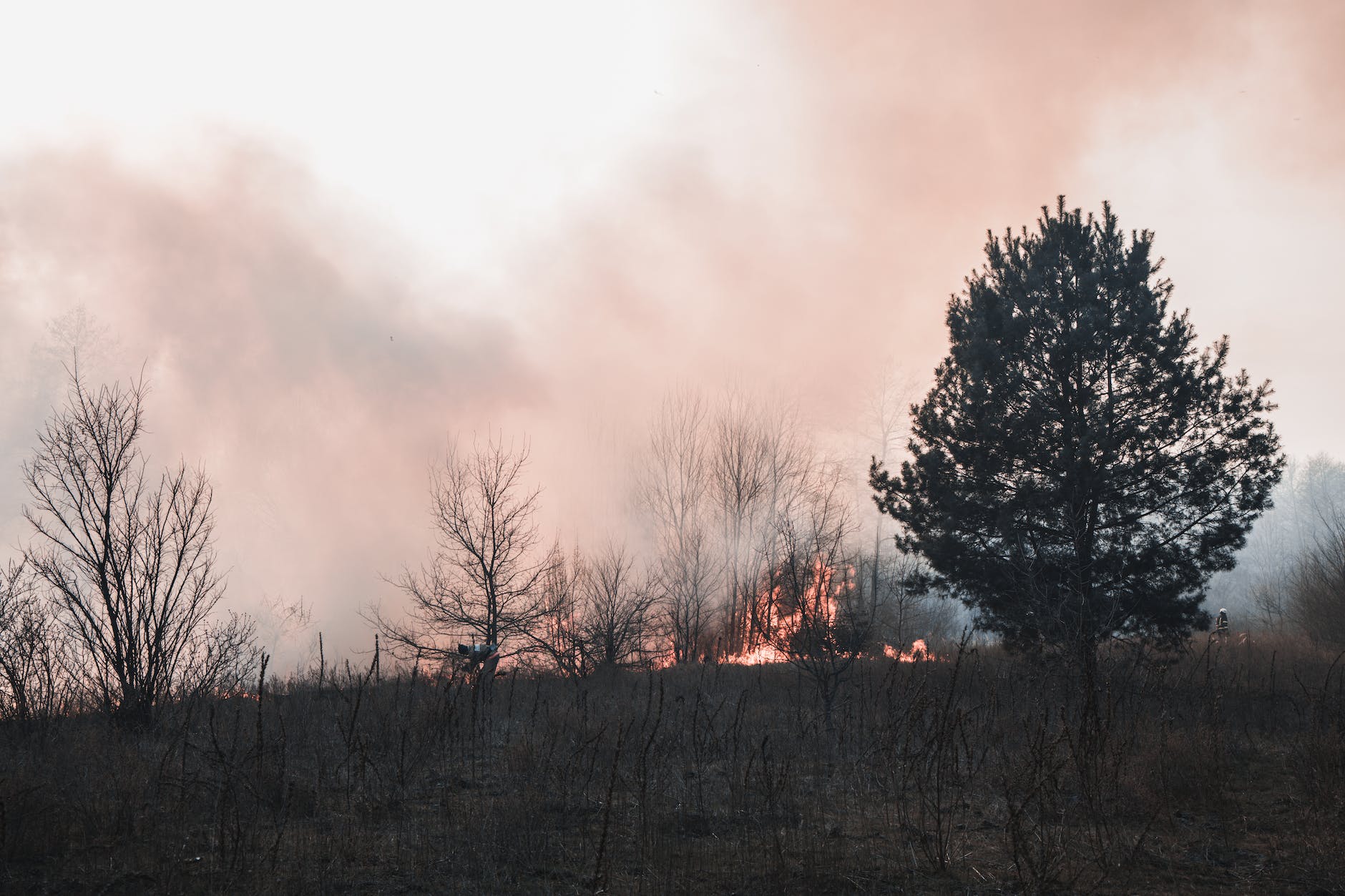
Communicating about wildfire-smoke risks to children’s health and encouraging parents’ protective behaviors
In Progress
The goals of this project are to (1) test infographics that inform and promote risk-informed decision making about children’s health risks associated to wildfire smoke exposure, and (2) explore factors influencing Air Quality Index use and other smoke-safe behaviors among parents.
Our first study, published in Environmental Research Communications, found that some graphical presentations of air quality information may be better at getting parents to recognize the risks that moderate levels of wildfire smoke may pose to children’s health.
https://doi.org/10.1088/2515-7620/ad5931
Our second study, published in Population and Environment, explored regional differences in parents’ use of air quality indexes. Prior smoke-related health impacts and use of online sources of smoke information (e.g., apps) appeared to drive parents’ use of–and adherence to–air quality indexes during wildfire smoke events.
Developing and testing maps for radon risk education
In Progress
This research explores the impacts of different types of map visuals and map legends on people’s comprehension of radon risks and intentions of testing for radon. This work is being completed in collaboration with the British Columbia Centre for Disease Control.
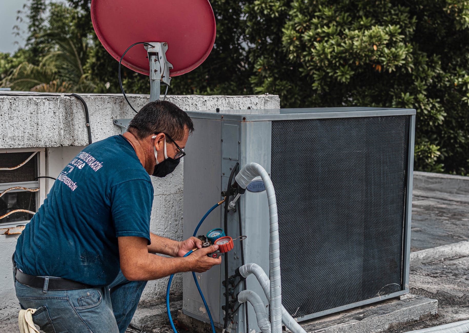
Occupational risks associated with wildfire smoke exposure: A scoping review
In Progress
This review summarizes evidence on the risks to health that wildfire smoke poses to outdoor workers and highlights the challenges they face adapting to this increasing threat brought on by climate change.

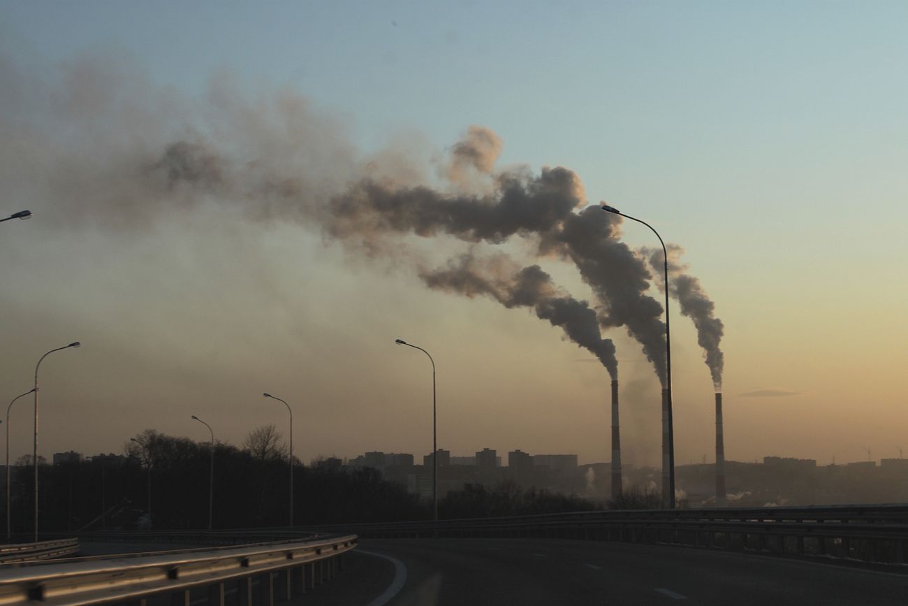
Evaluation of public health communications during wildfire smoke events
Complete
The goal of this project was to investigate how public health officials and agencies used social media to communicate health risk information about wildfire smoke in Oregon and Washington. Findings have been published in BMC Public Health.
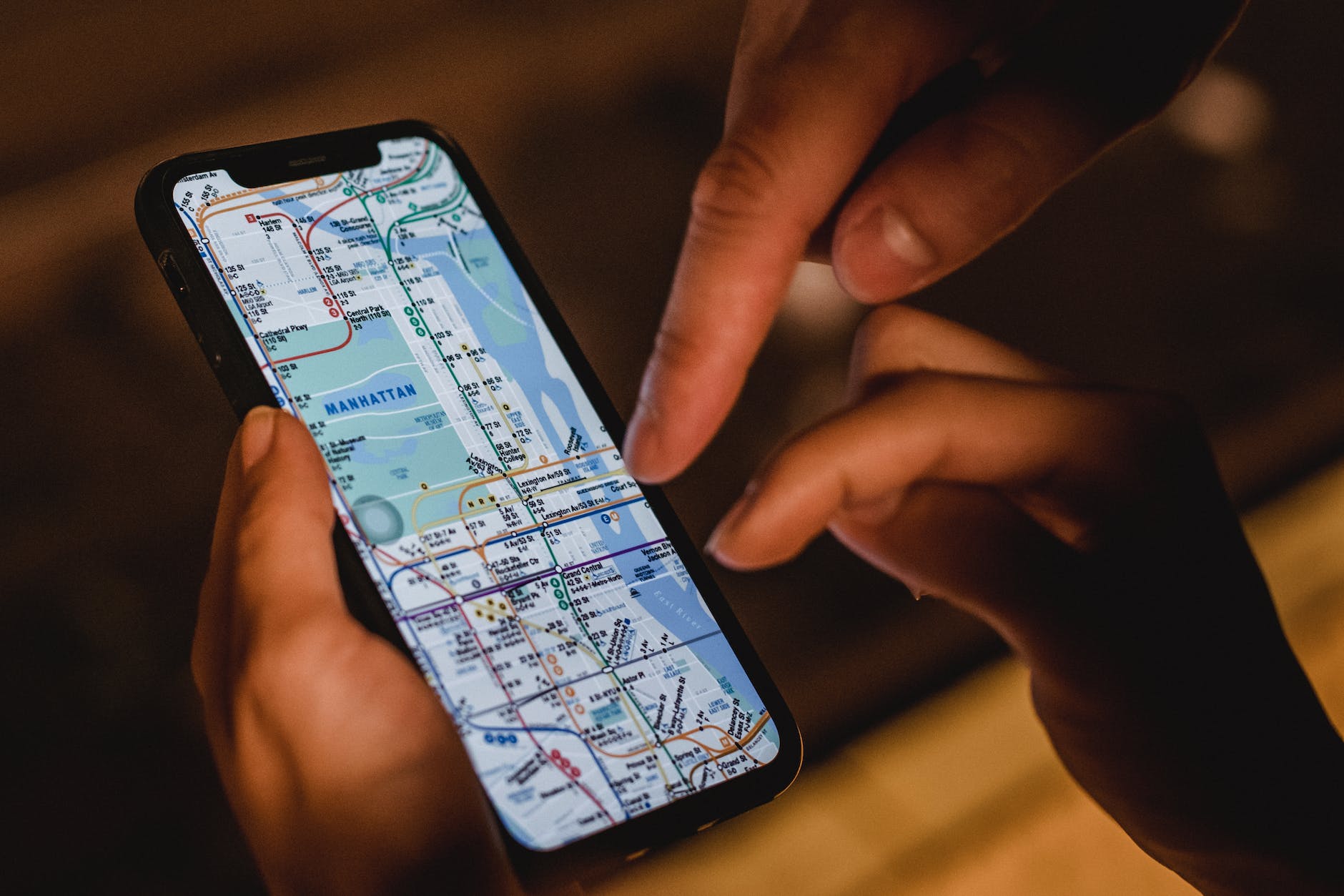
Exploring how proximity to environmental hazards impacts perceptions of environmental injustice
In Progress
This project aims to uncover how the visual display of environmental hazards using
geographic maps, and proximity to these hazards, affects citizens’ understanding of
environmental health risks and motivates the adoption of actions to prevent environmental exposures.
Opportunities and challenges for environmental health risk communication using geo-visualizations
Complete
The purpose of this project was to synthesize research from the cognitive sciences and cartography on principles of
effective data visualization that could be applied to public health education for environmental health risks. Findings have been published in Current Environmental Health Reports.
